Image
|
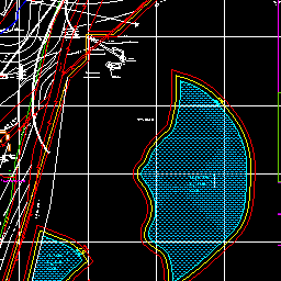
Description: Create corresponding images according to different layers, bounds, sizes, etc.
Image request information |
|
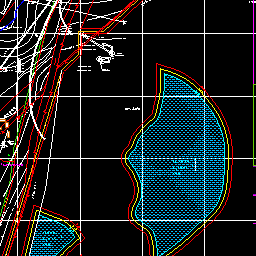
Description: Create corresponding images according to different layers, bounds, sizes, etc.
Image request information |
