My Account
Token
Log out
Login
English
English
简体中文
home
>
maps
>
map(张家湾13号煤层采掘工程平面图2000)
overview
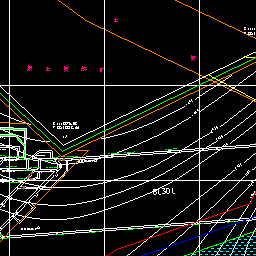
Description:
The bird's view of a certain bounds of a map.
Overview information:
View bounds:
Left bottom: {"x": 38429446.66 , "y":4443521.79 }
Right top: {"x": 38429716.35 , "y":4443791.48}
Size:
Width: 256
Height: 256
Size
Width
Height
Background
Transparent
Yes
No
HTTP methods
GET
HEAD
Output formats
xml
json
fastjson
rjson
html
jsonp
bmp
gif
jpg
png
